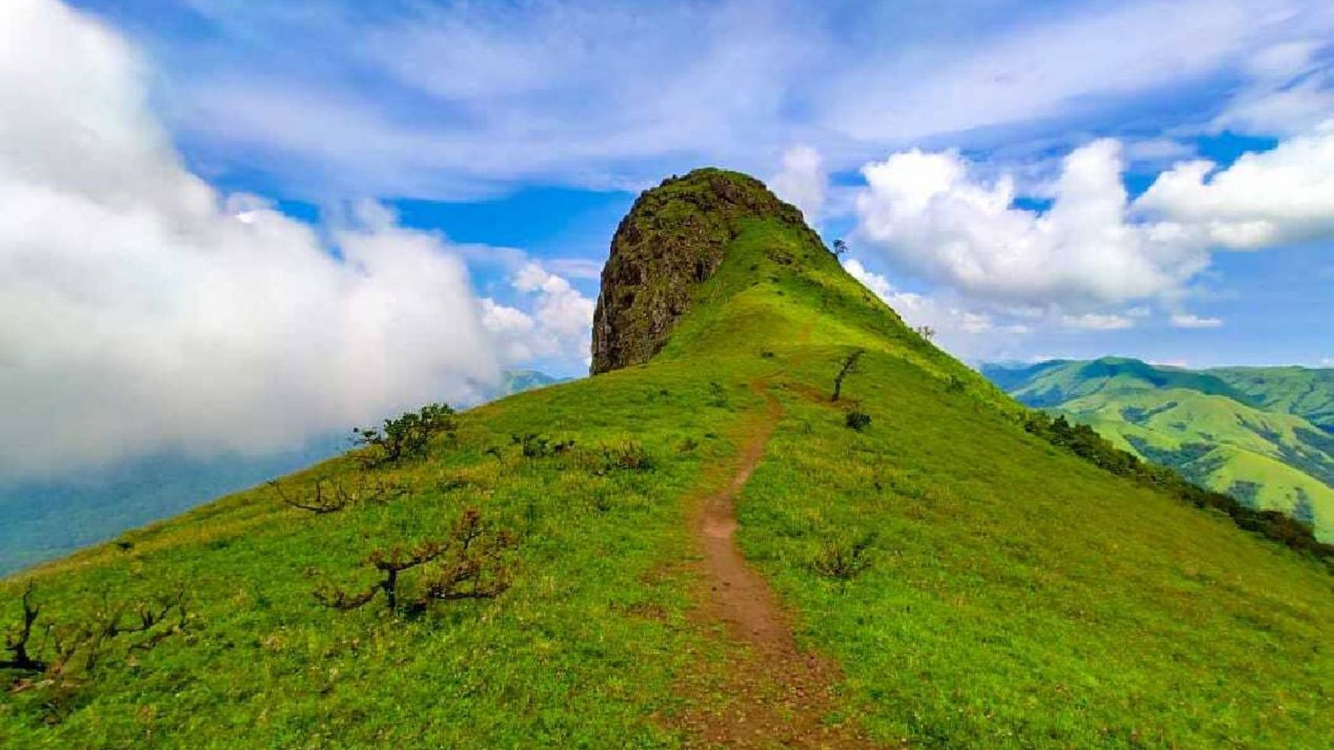
Ettina Bhuja trek is noted as one of the most unique looking trekking routes within western ghats. The peak itself looks like a oxen’s hump which provides a great destination for hikers / trekkers traveling throughout karnataka looking forward to complete an easy moderate scenic trip while receiving a LOT of “information gain” about what’s at the top as you enjoy an incredible landscape of rolling hills down below.
Trek Overview & Logistics
While the trek is relatively short, it is packed with diverse terrain. In 2026, the Karnataka Forest Department has fully regulated this route to protect the Shola ecosystem.
- Difficulty: Moderate (Beginner-friendly but involves a steep rock scramble at the very end).
- Total Distance: ~5 km round trip (Starting from the Byrapura side).
- Altitude: ~1,300 meters (4,265 ft) above sea level.
- Time Required: 3 to 4 hours in total (1.5 hours up, 1 hour at the summit, 1 hour down).
- Permits: Mandatory. You must book via the Aranyavihaara portal. The fee is approximately ₹300 per person.
The Detailed Trail Experience :
The first part of your trek starts at Sri Nanya Bhairaveshwara Temple in Byrapura and leads you through a thickly covered canopy of Shola Forest. This section of the journey typically takes about 20 to 30 minutes to complete.
Additionally, the first section has a lot of humidity and a good amount of leeches, especially during (or right after) the rainy season. Bring along a small bag of salt or wear leech-socks for protection.
The second part of your journey will be a gradual ascent on the ridge with your first view of “Ox’s Shoulder” — an expansive rolling grassland expanse. In this section of the hike, you’ll feel significant wind, which may decrease the air temperature by as much as 10+ degrees Fahrenheit (when compared to temperatures from the first half of your hike).
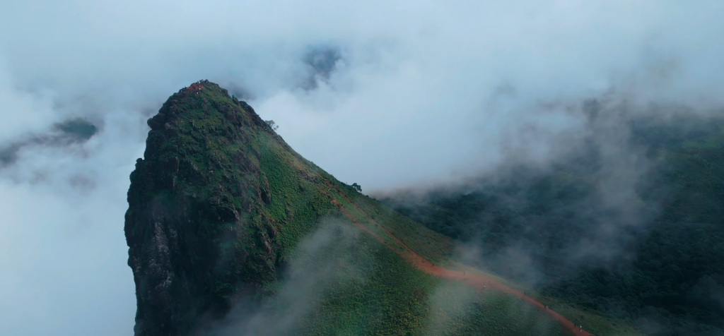
The last portion (150-200 meters) will be the most physically challenging as you will be climbing up along a very steep and narrow rocky path (with some portions of the path having nearly a 70-80 degree incline). Additionally, you will use your hands to help you balance as you climb up the rocky path. This portion will be physically challenging, but it is not technical mountaineering; you simply need to pay attention as you climb and watch for wet rocks.
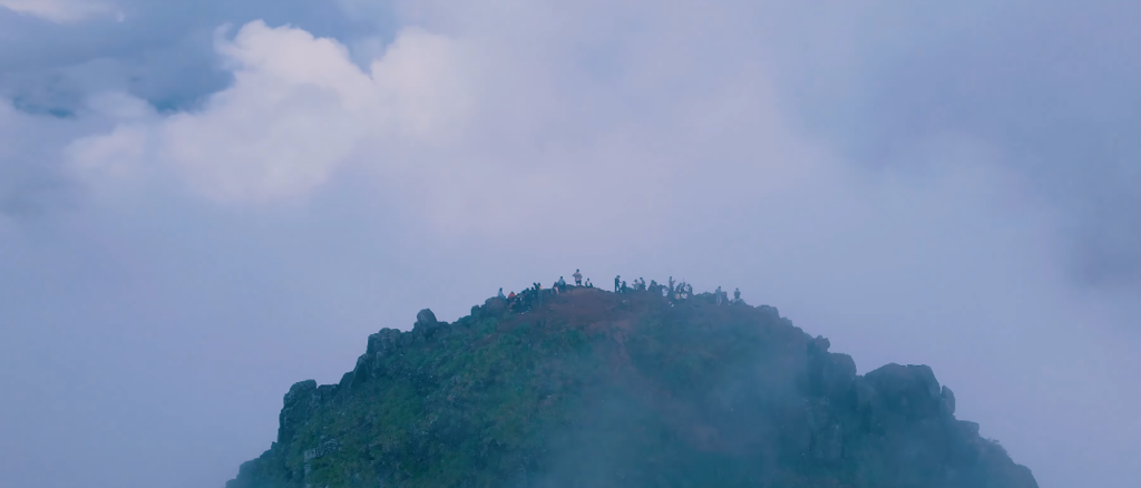
The Summit: 360-Degrees of Scenic Beauty
After reaching the “hump,” the view is expansive from that point forward. On a clear day, the whole range of Charmadi Ghat can be seen on a clear day.
The View: You can also see Deepadhakallu, Amedikallu and Jenukallu Gudda from proximity.
The Sensation: Because the summit is isolated from other mountains, you will see the green hills of Western Ghats from many different directions at once.
Essential Traveler’s Checklist
| Category | Item |
| Footwear | Trekking shoes with a solid grip (Mandatory for the final rock scramble). |
| Water | At least 2 Liters (There are no water sources on the trail). |
| Sun Protection | Cap and sunscreen (The grassland section has zero shade). |
| Eco-Rules | Strictly No Plastic. Forest guards at the base will check your bags. |
As you’re exploring Sakleshpur, an overnight stay at Abbi Valley Resort, which is at approximately 20 km from Ettina Bhuja, is very good. If you start driving from Hanbal at 6:00 AM, you’ll be able to reach the Byrapura Base as soon as the forest guards open their gates, so you’ll be at the summit before the midday sun starts coming out fully.